Climbs from the Old Mitchell Toll Road to the summit of Blue Ridge Pinnacle in two places. This is private property, so access to this trail is not guaranteed.
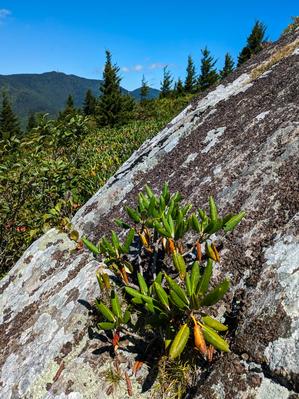
Short, easy loop on a nearly flat summit overlooking the North Fork Catawba River valley - far above the winding passages of Linville Caverns under the mountain below. There are some great views from the primary overlook right near the beginning of...
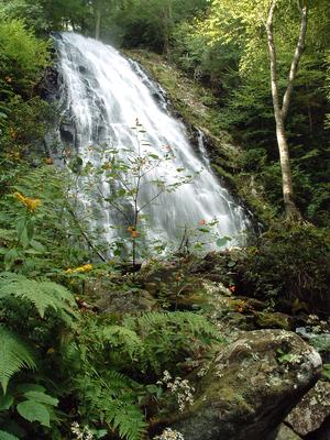
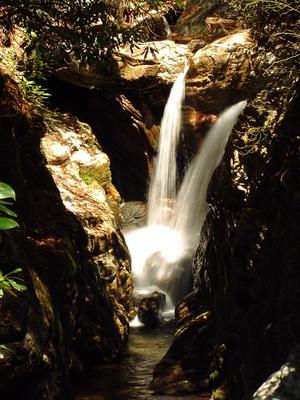
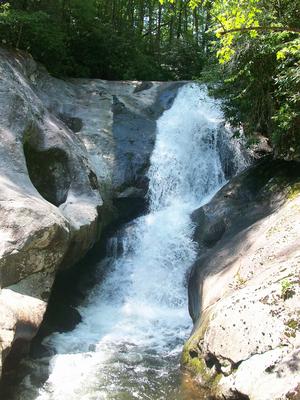
This excellent trail takes you by the base of one of the most beautiful falls in the area. From the campground, follow the signs to the parking area for the falls trail. Take the right fork where the trail splits. The trail will descend and switch...
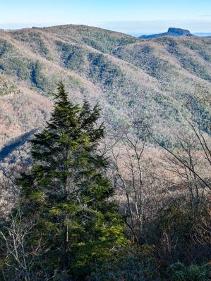
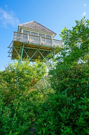
This trail follows a ridge line to the Green Knob Lookout Tower at 5,090 feet. The trail is very steep and gets rocky so some minor scrambling is required. The trail provides amazing views of this beautiful mountainous region. After 2.8 miles the...
This excellent trail, completed in 1993, follows the contours of Grandfather Mountain above the Blue Ridge Parkway. It travels through interesting and diverse geology and forest environments, including northern hardwood forests and spruce-fir...
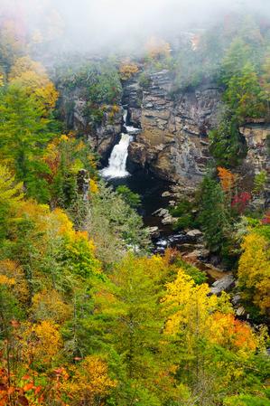
This trail travels to four excellent views of the Upper and Lower Falls. The first overlook takes you to the pool at Upper Falls. From this vantage point you can see the river pouring into the narrorw gorge above the lower falls. The second...
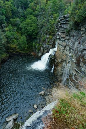
From the visitor center, this trail starts out fairly smooth through a forest of very large hemlocks and white pines to the junction with the Plunge Basin overlook split. The trail to the overlook is downhill and has some obstacles, but is well...
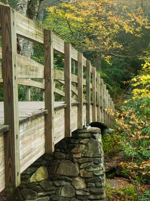
A short loop path leads through rhododendrons, up a small grade, and over a few roots and rocks to the falls at a footbridge. This is sometimes called "The smallest named falls on the Blue Ridge Parkway", but its beauty is outsized - and well worth...
Starting the Curtis Creek campground, the trail winds its way into the cove containing Slick Falls Branch on an old logging road, and then begins its signature climb. This is one steep trail! There are a few switchbacks, but they don't minimize the...
From FS 472 the trail starts its climb on an old road bed, but soon veers left onto a narrow path for the first of many switchbacks as it ascends the ridge. The switchbacks ensure the grade is never too extreme as it traverses the steep slope many...
**Black Mountain Campground to Beacon Heights**
From Black Mounain Recreation Area by South Toe River in Pisgah NF to Buck Gap at BRP mp 344.1: Climbs the ridge. From Buck Gap at BRP mp 344.1 (NC-80) to Woodlawn Park (US-221): The MST leaves the...
Follows a tourist road which once provided motorized access to the summit of Mount Mitchell from Black Mountain after the logging operations and tourist railroad had winded down. The toll road largely followed the old railroad's path, but the town of...